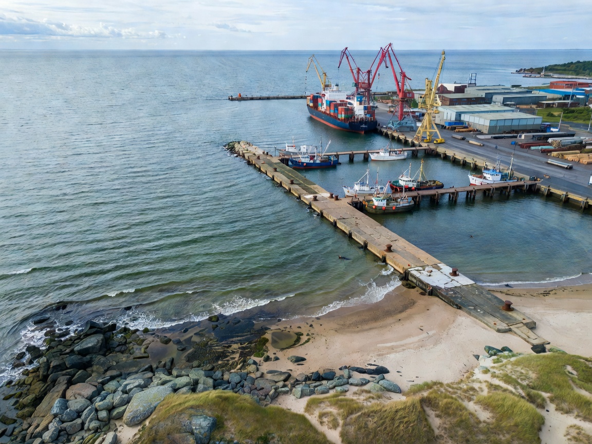
A connected sea, varied shores
The Baltic Sea is a largely enclosed northern European sea connected to the North Sea through the Danish straits. Its coast includes large ports, small fishing settlements, islands, lagoons and river mouths. These settings shaped different kinds of maritime work. A museum near a port may focus on trade or shipbuilding. A regional collection may concentrate on fishing, boats, coastal households or navigation landmarks.
Use geography as a guide, not a ranking. The same subject can appear in different forms: a vessel in a museum hall, a harbour record in an archive, a boatbuilding tool in a local collection, or a landscape interpreted outdoors. The collection format changes what visitors can inspect.
Latvia: river, port and open coast
Latvia’s maritime geography combines the Gulf of Riga, the Baltic coast and the Daugava River corridor. Riga’s position connects inland movement with seaborne trade. Coastal communities along the Gulf and western shore offer a different frame: fishing, boat use, shoreline settlements and working relationships with the sea. Port infrastructure and river transport help explain how the capital’s maritime history reaches beyond the waterfront.
When comparing collections, note whether the focus is urban navigation and commerce, local fishing practices, naval history or coastal engineering. The Latvian Museum of the History of Riga and Navigation is a real institution with a broad historical remit; check its own current information for collection access and visitor details.
Lithuania: Klaipėda and the Curonian coast
Lithuania’s maritime reference points include Klaipėda, the Curonian coast and the Curonian Lagoon. The coast is shaped by both open-sea conditions and lagoon environments. That contrast matters. Fishing craft, settlement patterns and local economies can differ between exposed shore and sheltered waters. Klaipėda’s port history places maritime trade and transport in a national context, while regional heritage helps show how coastal communities lived with changing shorelines and working waters.
The Lithuanian Sea Museum is an identifiable institution associated with the country’s maritime heritage. Do not assume a particular exhibition or vessel is on view. Check current institutional information directly. A regional visit can also include landscape interpretation, but access, transport and seasonal conditions should be confirmed locally.
Estonia: mainland, islands and Gulf routes
Estonia’s long coastline, islands and position on the Gulf of Finland create a maritime geography of short crossings, port links and varied shore communities. Tallinn offers an urban port setting. Islands and coastal towns provide other ways to study fishing, navigation, boatbuilding and everyday maritime life. Collections may connect local histories with wider patterns of Baltic exchange.
The Estonian Maritime Museum is a real institution; its Seaplane Harbour site is widely identifiable as a maritime museum setting. Confirm current exhibitions and access directly. Tartu is inland, so it is relevant when researching broader transport and national history rather than as a coastal port.
How to compare regions
Compare the conditions represented, not the number of objects or the size of a building. Look for the relationship between settlement, route and collection. Ask whether a display explains how cargo moved, how boats were built, or how local knowledge responded to weather and water. An urban museum can provide extensive documentary context. A regional collection may preserve close ties to one community or landscape. Both formats answer different questions.
| Setting | Useful themes | Check before a visit |
|---|---|---|
| Port city | Trade, navigation, ship repair | Current displays and site access |
| Island or coast | Fishing, boats, shoreline life | Seasonal transport and opening |
| River corridor | Inland freight, bridges, river craft | Whether material is on display |
Selection criteria
Choose a route by question. For ship design, look for vessel models, plans or preserved craft. For port history, seek maps, trade records and infrastructure interpretation. For community history, prioritize collections rooted in a particular coast or island. For navigation, look for charts, instruments, lighthouse interpretation or pilotage records. Check language provision, access information, transport links and whether the collection is open on your travel dates.
Good for
- Planning a cross-country maritime history itinerary.
- Comparing port cities with coastal and island communities.
- Finding a regional context before visiting a specific institution.
What to know
Opening hours, prices, exhibitions, accessibility and seasonal arrangements change. Confirm details with each institution directly. Some regional collections may have limited opening patterns; do not travel on an assumption. This independent guide is not affiliated with any museum, port or public body.
Related guides
Compare museum types · Latvia · Lithuania · Estonia
CORRECTION / ENQUIRY